Se balader
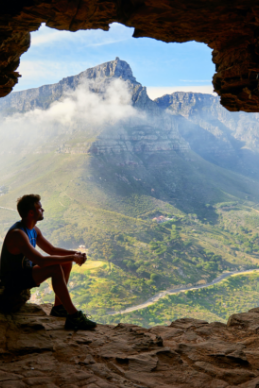
Explorez Terra Curiosa et parcourez plus de 500 kilomètres de sentiers à pied, en vélo, à dos d’animaux ou en voiture à travers les charmantes communes de Floreffe, Gembloux, Jemeppe-sur-Sambre, Sambreville et Sombreffe.
Vous serez séduit par la diversité des paysages et la traversée des villages ruraux. Chaque chemin réserve des surprises uniques, que ce soit une abbaye ou des délices culinaires dans les restaurants locaux. Terra Curiosa vous invite à une aventure passionnante, riche en histoire, saveurs et beauté naturelle. Allez-vous vous laisser tenter par l’inconnu ?
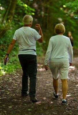
À
pied
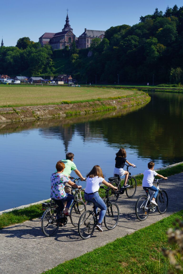
À
vélo
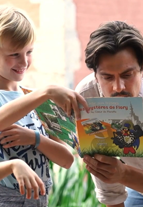
En
s'amusant
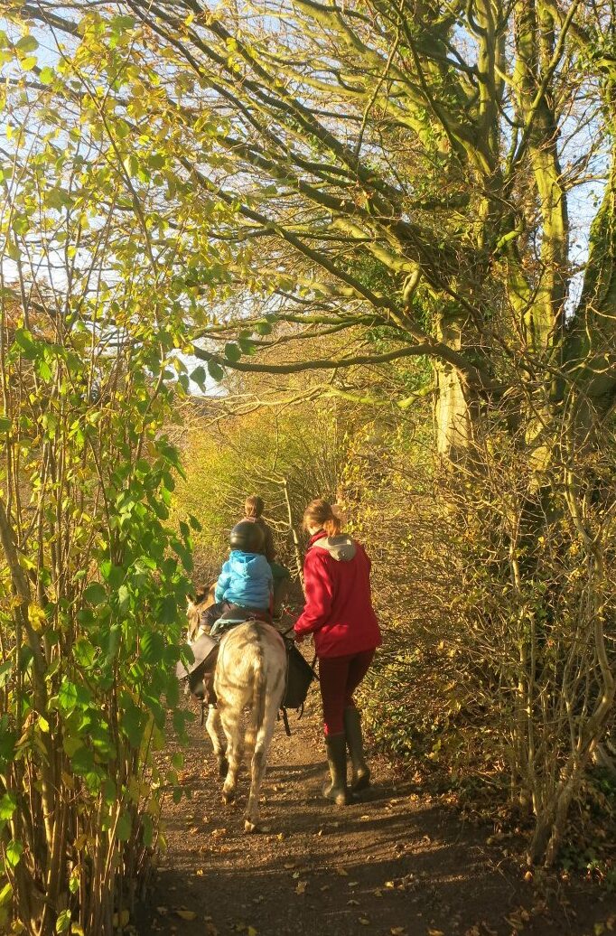
En
compagnie d'animaux
Itinéraires
wallons
Envie de faire une pause gourmande durant vos balades en Terra Curiosa? Découvrez nos boutiques du terroir, explorez nos marchés, dégustez des plats dans les restaurants locaux… Ne manquez pas nos bières artisanales, brassées par des passionnés, pour une expérience gustative au cœur de notre charmante région, ça vous tente?
Documents à télécharger
Balades ludiques
Nos balades pédestres
Nos balades à vélo